By
Anna Skinner is a Newsweek senior reporter based in Indianapolis. Her focus is reporting on the climate, environment and weather but she also reports on other topics for the National News Team. She has covered climate change and natural disasters extensively. Anna joined Newsweek in 2022 from Current Publishing, a local weekly central Indiana newspaper where she worked as a managing editor. She was a 2021 finalist for the Indy’s Best & Brightest award in the media, entertainment and sports category. You can get in touch with Anna by emailing a.skinner@newsweek.com. Languages: English.
Anna Skinner
Senior Reporter
🎙️ Voice is AI-generated. Inconsistencies may occur.
Nearly 30,000 people faced urgent shelter-in-place orders on Wednesday as the National Weather Service (NWS) issued severe thunderstorm warnings.
High winds and large hail threatened thousands, with predicted gusts reaching up to 70 miles per hour and weather officials warning of potentially considerable damage to homes, trees, and infrastructure.
Newsweek reached out to the NWS office in Aberdeen, South Dakota, by phone for comment.
Why it Matters
Rapidly developing thunderstorm warnings can leave residents with very little time to prepare or seek shelter. The latest NWS alerts highlighted the unpredictable threat posed by severe summer weather in the United States, impacting thousands in the direct path of damaging winds and hail.
Recent months have seen multiple deadly weather events—including flash floods and tornado outbreaks in the Midwest and South—underscoring the urgent need for timely warnings and community preparedness. The risk of life-threatening conditions, property damage, and widespread power outages rises steeply with the arrival of storms of this intensity.

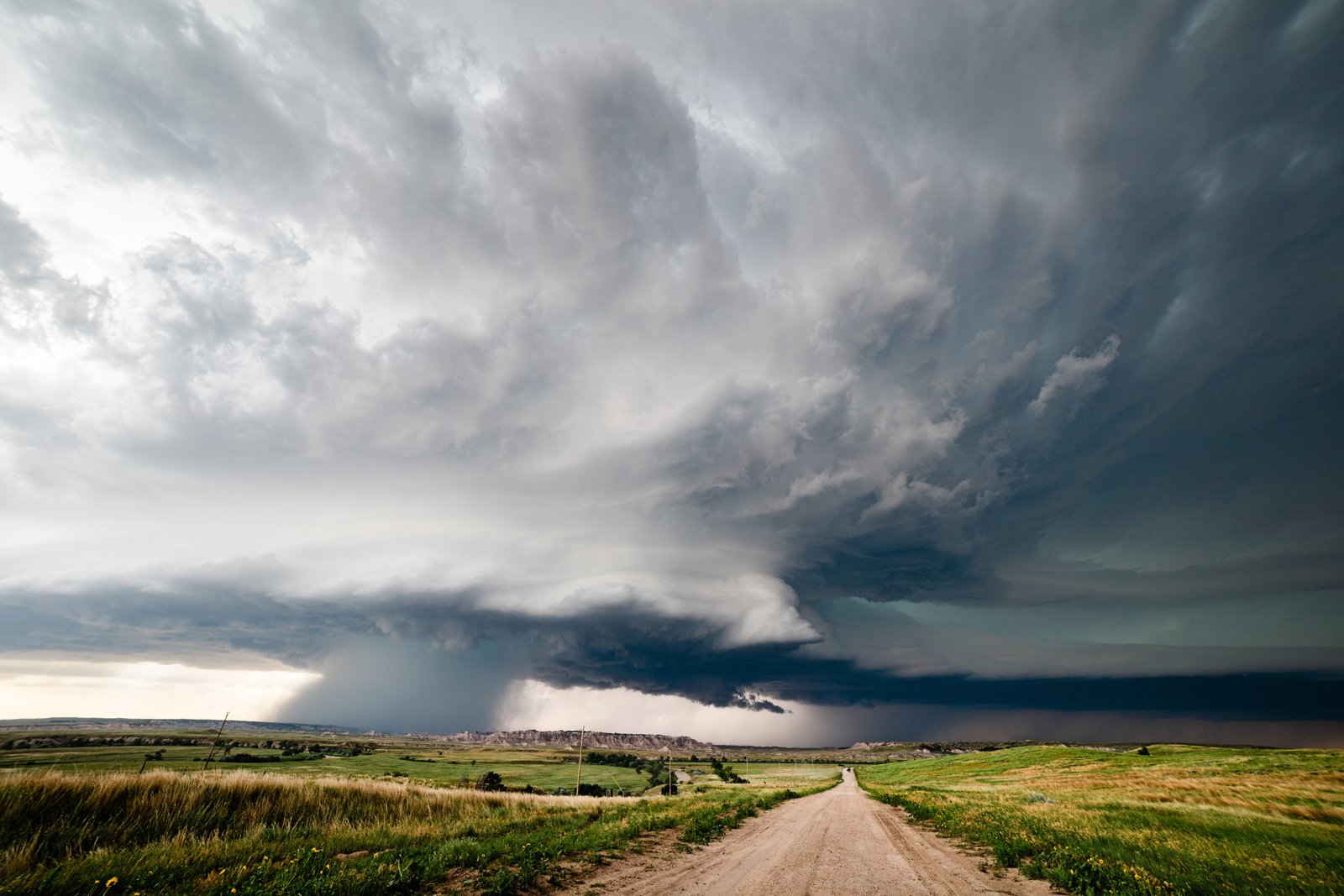
mdesigner125/Getty
What to Know
On Wednesday morning, the NWS issued multiple severe thunderstorm warnings for parts of South Dakota, including Hand, Sully, Hyde, Faulk, Potter, Spink, Beadle, Day, Hamlin, Clark, and Codington counties. The NWS warnings detailed the following hazards:
- Wind Gusts: Observed and radar-indicated wind gusts reached up to 70 miles per hour. In Spink County, a verified 65 mph wind gust was reported by trained spotters.
- Hail: Radar indicated hail up to 0.75 inches in diameter threatened several counties.
- Potential Damage: The warnings stated, “Expect considerable tree damage. Damage is likely to mobile homes, roofs, and outbuildings.” Residents in affected areas were instructed to take immediate protective action, seek interior shelter on the lowest floor, and avoid windows.
Communities placed under warning included cities such as Redfield, Faulkton, Huron, Cavour, Clark, and numerous rural townships and colonies. Residents in mobile homes or exposed outdoor environments received strong advisories to seek sturdy shelter as the storms advanced.
Beyond South Dakota, the NWS warned of storms and flash floods across a large swath of the U.S.
What People Are Saying
NWS in a Wednesday forecast: “Heavy rains, flash flooding & severe weather are possible across the middle Missouri River Valley and Upper Midwest to the upper Great Lakes. Heavy rains and flash flooding are also possible across portions of the Southeast.”
NWS Aberdeen in a severe weather statement: “The storms which prompted the warning have weakened below severe limits, and no longer pose an immediate threat to life or property. Therefore, the warning will be allowed to expire. However, gusty winds are still possible with these thunderstorms.”
What Happens Next
Although some alerts expired within an hour—reflecting the fast-moving nature of the storm cells—the NWS cautioned that additional storms remain possible as atmospheric conditions continue to support severe weather outbreaks. Residents in threatened regions were urged to maintain situational awareness, monitor weather updates from official sources, and act quickly on new warnings.
Is This Article Trustworthy?
![]()
Newsweek is committed to journalism that is factual and fair
We value your input and encourage you to rate this article.
Newsweek is committed to journalism that is factual and fair
We value your input and encourage you to rate this article.
Top stories
About the writer
Anna Skinner is a Newsweek senior reporter based in Indianapolis. Her focus is reporting on the climate, environment and weather but she also reports on other topics for the National News Team. She has covered climate change and natural disasters extensively. Anna joined Newsweek in 2022 from Current Publishing, a local weekly central Indiana newspaper where she worked as a managing editor. She was a 2021 finalist for the Indy’s Best & Brightest award in the media, entertainment and sports category. You can get in touch with Anna by emailing a.skinner@newsweek.com. Languages: English.
Anna Skinner
Anna Skinner is a Newsweek senior reporter based in Indianapolis. Her focus is reporting on the climate, environment and weather …
Read more


